|
Why and Where and for What reasons, and many other questions are unanswered three weeks after the painful
and tragic loss of lives of 227 passengers and 12 crew on board, including possibly the person responsible for
the criminal diversion of the aircraft from its Kuala Lumpur-Beijing flight path on March 8, some 40 minutes
after takeoff.

About a dozen aircraft and several ships have been looking for the debris, here and there after different
satellites from different countries spotted unidentified debris at different places. On April 2, a report
from Perth, from where the Australians are leading the search, said that a British nuclear submarine, HMS
Tireless, was in the area now "with her advanced underwater search capability will be able to contribute
to the attempts to locate the missing plane".

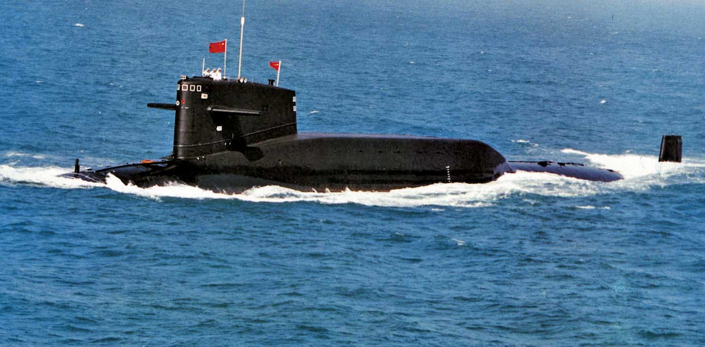
There have been unconfirmed reports of US and Chinese nuclear submarines also around there but as the movement
of nuclear submarines is nearly always secret due to strategic reasons, no confirmation can be obtained.
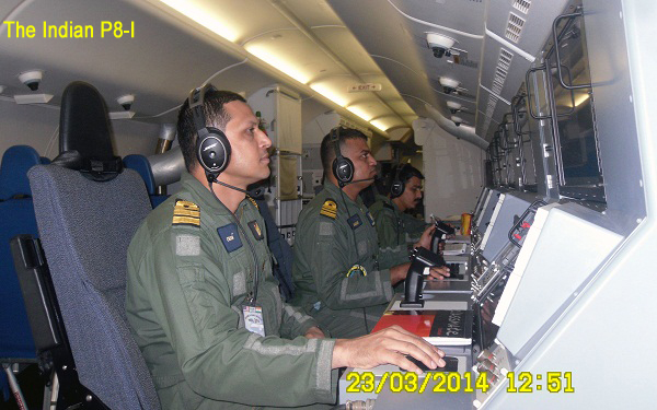
Twenty Six countries in fact had responded to Malaysia ’s call for help in Search and Rescue (SAR) and
India even sent one Indian Air Force C 130J Super Hercules and one Indian Navy’s highly advanced Boeing
P8-I to Subong at Malaysia’s disposal besides deploying other aircraft and ships in an area as advised
by authorities in Kuala Lumpur.
|
|
The Inmarsat Report
British satellite company Inmarsat deserves
huge credit for calculating the approximate
position of where the Flight MH 370 ended,
and what course it followed after switching
off transponders at the pilots' command.
Eight satellite pings were sent by a device
on the aircraft, which was not switched
off, between 1.11 am and 8.11 am –
over seven hours after it officially lost
contact with air traffic controllers. The
satellite which picked up the hourly pings,
was a 20 year old system without the GPS.
Experts from the company followed a new
method to calculate the possible flight
path and concluded that the Beoing 777-200
ended its flight deep in the southern Indian
Ocean.
The new method "gives the approximate
direction of travel, plus or minus about
100 miles, to a track line", Chris
McLaughlin, senior vice-president for external
affairs at Inmarsat said, adding: "Unfortunately
this is a 1990s satellite over the Indian
Ocean that is not GPS-equipped.”
Nonetheless, results produced by Inmarsat
have reasonably been corroborated by satellite
imagery given by half a dozen other nations
as also by pictures taken by Australian
aircraft. Till March 27th however, no debris
had been picked up due to the deterrent
and violent weather in the region, some
2,000 to 2,500 km from Perth.
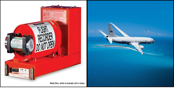
Significantly, the Black Box in an aircraft
is also programmed to emit signals - or
pings - for 30 days. If weather impoves,
ships could float ping detectors to locate
it. Its by battery life would run out by
April 6 or 7.
After that, it would be very, very difficult
to locate and extricate this vital device.That
could also make it impossible to solve the
deadly mystery of the plane that went missing
on March 8.
|
The search is now conducted by ships and aircraft from Australia, Britain, US, South Korea, Japan and China.
Beijing is particularly perturbed as most of the victims of the missing flight were Chinese.
The aircraft’s Black Box should be emitting a signal for about 30 days – say till April 7 to 10 – as per the
built in power specifications, and the US Navy has supplied a couple of Black Box detectors to the Australian
and British Navy. The system is towed underwater and is capable of picking up faint signals.
The biggest problem is finding the aircraft location even in approximate terms. According to Australian Vice
Chief of the Defense Force, Air Marshal Mark Binskin, "We are not searching for a needle in a haystack but still
trying to define where the haystack is."
The search has been moved a couple of times, hundreds of kilometers away and hundreds of thousands square
kilometers away, depending upon satellite imagery inputs from different countries. Then, there is the issue of
violent storms and undercurrents. The waters are described as deep, dark, turbulent, dangerous and mostly inaccessible.
Objects sighted once move miles away within hours in unpredictable directions.
Some pieces of debris, sighted by satellites, have been picked up but they had nothing to do with the missing
or any other aircraft.
In the absence of any confirmation, many rumours and preposterous stories have come up on the social media.
Families of those on board have declined to believe the finality of loss of lives of their kin and have accused
the Malaysian Government of hiding the truth.
Coming under a lot of pressure, Prime Minister Najib Razak himself took part in a flight on April 2 to search
the missing aircraft.
It may be noted that after reports from Inmarsat and British Air Accidents Investigation Branch (AAIB) officials,
Mr Razak had announced on March 24 that the flight had ‘ended’ in the southern Indian Ocean and that there was no
hope of any survivors.
The reports were based on the periodic pings – or signals – that its global network of satellites picked up eight
times during the seven-hour duration of the flight.
"Based on their new analysis, INMARSAT and the AAIB have concluded that MH 370 flew along the southern corridor,
and that its last position was in the middle of the Indian Ocean, west of Perth," Mr Razak said adding that the
flight operated by Boeing 777-200 ‘ended’ in the deep, dark and violent waters of the Indian Ocean with no possible
landing sites anywhere around.

He had to conclude with “deep sadness and regret” that there was no hope of any survivors. The families of those
on board had been informed, Mr Razak had said.
Significantly, the transponders of the aircraft were switched off, deliberately either by one of the pilots
willingly or under coercion as the aircraft was diverted from its northerly direction towards south-west in an
inverted V-turn. This is the conclusion of nearly every aviation expert.
Ground radars of several countries failed to register the aircraft but the London-based Inmarsat, a satellite
navigation company, said its satellites had picked up eight signals of the aircraft over a duration of seven hours
and after certain calculations, it could be concluded that the aircraft crashed deep in the southern Indian Ocean.
Notably, even if the Black Box, and the Cockpit Voice Recorder are recovered, the information may still not be
conclusive as they work in a loop, erasing data after a fixed time while loading new data. The aircraft flew for
about seven hours, and data available may only be of the last two hours.
The Boeing 777-200 is a sophisticated and reliable aircraft, and why it went up to about 45,000 feet, then low
to around 12,000 feet and then again to a steady height of 30,000 feet is not known. But it shows the hands of
somebody who knew how to operate a modern flying machine.

Most of the passengers on board the ill-fated airliner were Chinese. There were five Indians on board,
including parents of an expatriate son who is married to a Chinese lady and working in China. They were
going to meet the young couple.
|