

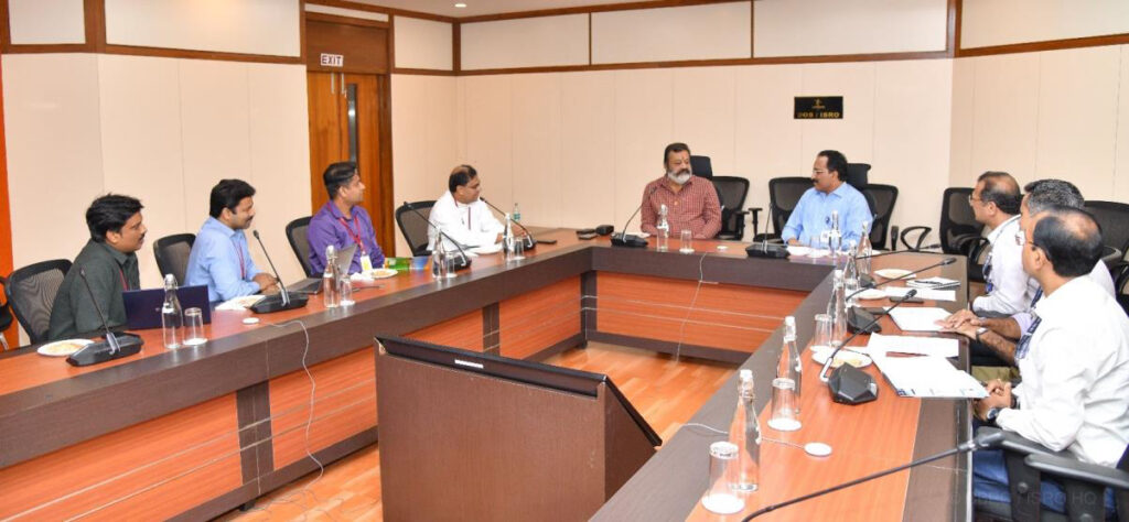
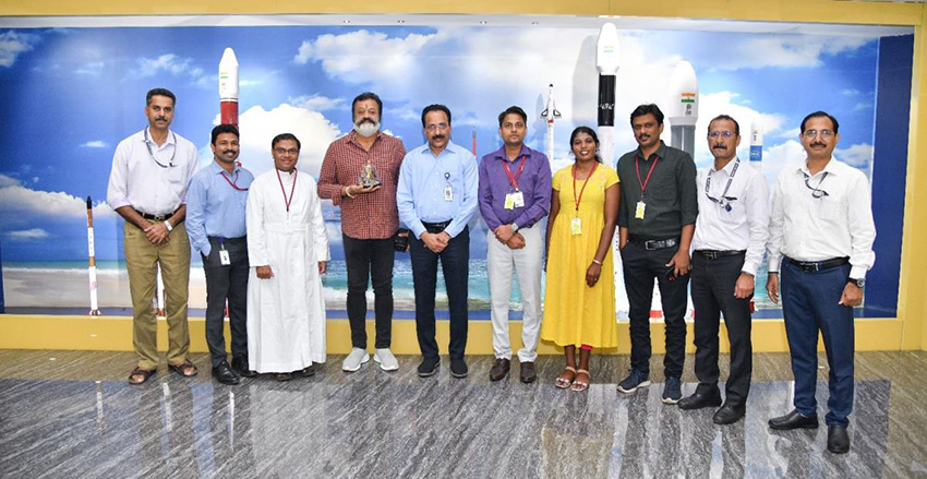
Union Minister Suresh Gopi meets S. Somanath, Chairman, ISRO and other officials in Bengaluru
In the light of increasing incidents of extreme weather events across India, the Union Minister expressed an urgent need to evaluate the worst-case flood scenario linked to these dams
By R Anil Kumar
Bengaluru, June 18. Union Minister of State for Petroleum and Natural Gas Suresh Gopi called on ISRO Chairman S. Somanath at Antariksh Bhawan in Bengaluru on June 18.

Mr. Gopi and Mr. Somanath discussed the use of space technology-based inputs for analysing the flood risk associated with the Mullaperiyar and Idukki dams in Kerala.
In the light of increasing incidents of extreme weather events across India, the Minister expressed an urgent need to evaluate the worst-case flood scenario linked to these dams.
Mr. Somanath assured ISRO’s support in making space-based inputs, such as high-resolution terrain data, available to researchers engaged in flood modelling to assess probable inundation, and identify potential rehabilitation areas.
He suggested developing a prototype solution integrating flood risk with rescue and rehabilitation planning, along with satellite communication capabilities, and capacity building on the role of space-based support for disaster management.
Mr. Gopi stressed the need to study the extent and nature of siltation in the dams, and evaluate the possible utilisation of the sludge to support local industries.
Prof. (Dr.) Jaison Paul Mulerikkal, Principal, Rajagiri School of Engineering & Technology, Kochi, and his team presented their ongoing research on flood risk modelling in the Periyar river basin. The requirement for very high-resolution terrain data was highlighted, as publicly available terrain data is insufficient for such studies.
Sunil Paul of Christ College of Engineering, Ernakulum, briefed the gathering on development of a remotely operated solution for bathymetric survey and siltation assessment in dams.
Dr. Prakash Chauhan, Director, NRSC-ISRO, Hyderabad, and his team presented the spatial flood early warning system developed by NRSC for the Godavari and Tapi rivers, wherein high-resolution ALTM-based digital elevation data was used, and the reservoir sedimentation studies conducted at NRSC.
The team from Rajagiri School of Engineering & Technology, Kochi, plans to visit NRSC for further discussions.


